Urban Planning System

The information system allows to create and visualize planning projects for urban territories, localities, regions and private premises.
Digitized landscapes are kept in the database of the system. This allows the user to work with the landscape which is exactly the same as the territory for the future construction object, to develop several projects within the space, compare them and choose the preferable one. Apart from the main system functionalities it teleports the user to the object created what provides the opportunity to evaluate the scale of future facilities, buildings and streets.
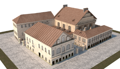
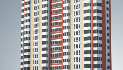


While planning separate parts of a district or council estate the system is estimating the compatibility of the objects being placed with the surrounding land-development. This product also consists of the system which gives recommendations for new objects placement.